Top walks!
On this page, you will find the signposted walks in the 6 communes of the Saint-Hubert Forest:
- less than 5 km
- between 5 and 10 km
- between 10 and 15 km
- between 15 and 20 km
The walking maps are on sale at the local Tourist Offices.
Signposted walks of less than 5 km
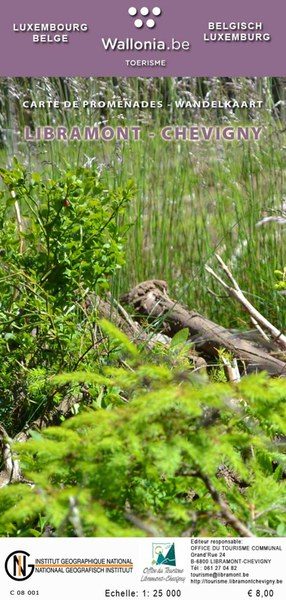
Walking map of Libramont-Chevigny:
- La Promenade pédagogique celtique (3 km)
walking map of Libin:
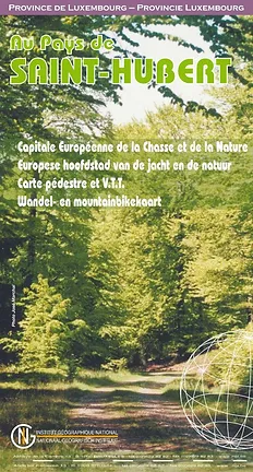
Walking map of Saint-Hubert
Walking map of Wellin
Signposted walks between 5 km and 10 km
walking map of Libin:
- Virée à Chêne: 5,7 km
- Les Troufferies: 5,8 km
- Le chemin des croix et des maisons brûlées: 6 km
- Virée des Croix: 6,1 km
- Le Site légendaire du Cui: 6,3 km
- La Spèche: 7 km
- Le passage des chèvres: 8,1 km
- Promenade des Ponts: 8,1 km
- Sur les traces de 14-18: 8,1 km
- Châmont: 8,4 km
- Promenade de la Lesse: 8,6 km
- La voie du cerf: 8,7 km
- Balade du bourgmestre: 8,7 km
- Les voies d’antan: 10 km
walking map of Libramont-Chevigny:
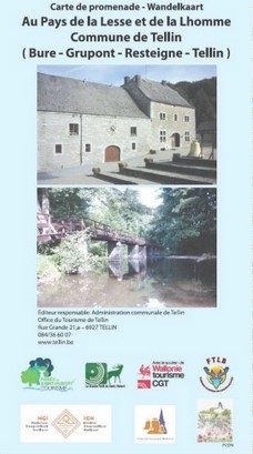
Walking map of Tellin
- Promenade du Trou des Lutons: 5,2 km
- Promenade du Bois de Machi (variante): 5,7 km
- Entre Ardenne et Famenne: 5,8 km
- Promenade des Bords de Lesse: 5,8 km
- Promenade de la Croix Javalle: 5,8 km
- Circuit de la Réserve domaniale (variante de l’ermitage): 6,4 km
- Promenade du Pont des Cloyes: 7 km
- Le chemin des Bruyères: 8 km
- Promenade du Bois de Machi: 8,3 km
- Promenade Sens Dessous-dessus: 8,5 km
- Promenade du Gué du Ry de Glaumont: 8,9 km
- Promenade des Hauts de Lesse (variante): 8,9 km
- Promenade des Hauts de Lesse: 11,2 km
Walking map of Tenneville
- Promenade du Gris Han : 5,3 km
- Promenade de la Chaussée romaine : 5,5 km
- Promenade de la Noire virée : 5,8 km
- Promenade de la Falize : 6 km
- Promenade de la Converserie : 6,1 km
- Promenade de l’Ourthe : 6,5 km
- Promenade des Maquisards : 7 km
- Promenade du Bronze : 7,5 km
- Promenade de Trompe-Souris : 8,4 km
- Promenade de Mochamps : 9,8 km + Boulaie tourbeuse du Rouge Poncé
Signposted walks between 10 km and 15 km
Walking map of Libin:
Walking map of Libramont-Chevigny:
Walking map of Tenneville
Walking map of Wellin
- Wéry variante: 11 km
- Rogifosse: 12,2 km
- Wéry: 16 km
Signposted walks between 15 and 20 km
Walking Libramont-Chevigny:
Wlking map of Saint-Hubert
Walking map of Wellin
Walking maps can be purchased from local tourist offices:


Downloadable tours:
Advanced filters

IGN MAP

AERIAL PHOTOS / IGN

MULTI-SCALE MAPS / IGN

TOP 25 IGN

SLOPE MAP (IGN PLAN)

CADASTRAL PARCELS

ICAO AERONAUTICAL CHARTS

MAP 1950 / IGN

MAP OF THE GENERAL STAFF (1820-1866)

COASTAL MAPS / SHOM/IGN

SCAN EXPRESS STANDARD / IGN

CLASSIC EXPRESS SCAN / IGN

OPEN STREET MAP

GOOGLE MAP - SATELLITE

GOOGLE MAP - MAP

GOOGLE MAP - HYBRID

IGN BELGIUM


Hatrival
A walk to discover the village of Hatrival and the surrounding forest.
This signposted walk can be found on the Saint-Hubert walking map, available for 8€ at the Maison du Tourisme de la Forêt de Saint-Hubert.
Beacon: red horizontal rectangle


Sainte-Adeline
Very nice walk, rich in different biotopes and flora. Interesting kwa landscape on the heights with a beautiful view of the village of Arville. Geological interest with several incisions showing the soil and subsoil. Peace and quiet on 95% of this route.
This signposted walk can be found on the Saint-Hubert hiking map, available for 8€ at the Maison du Tourisme de la Forêt de Saint-Hubert.
Marking: yellow horizontal rectangle


Cheni du Mont
This walk in the forests of Saint-Hubert, located above the village of Arville, takes you to the chapel of Chèni du Mont.
This signposted walk can be found on the Saint-Hubert hiking map, available for 8€ at the Maison du Tourisme de la Forêt de Saint-Hubert.
Beacon: blue cross


