Top walks!
On this page, you will find the signposted walks in the 6 communes of the Saint-Hubert Forest:
- less than 5 km
- between 5 and 10 km
- between 10 and 15 km
- between 15 and 20 km
The walking maps are on sale at the local Tourist Offices.
Signposted walks of less than 5 km
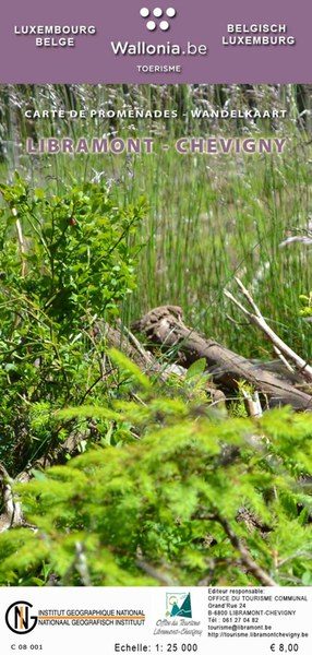
Walking map of Libramont-Chevigny:
- La Promenade pédagogique celtique (3 km)
walking map of Libin:
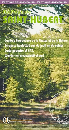
Walking map of Saint-Hubert
Walking map of Wellin
Signposted walks between 5 km and 10 km
walking map of Libin:
- Virée à Chêne: 5,7 km
- Les Troufferies: 5,8 km
- Le chemin des croix et des maisons brûlées: 6 km
- Virée des Croix: 6,1 km
- Le Site légendaire du Cui: 6,3 km
- La Spèche: 7 km
- Le passage des chèvres: 8,1 km
- Promenade des Ponts: 8,1 km
- Sur les traces de 14-18: 8,1 km
- Châmont: 8,4 km
- Promenade de la Lesse: 8,6 km
- La voie du cerf: 8,7 km
- Balade du bourgmestre: 8,7 km
- Les voies d’antan: 10 km
walking map of Libramont-Chevigny:
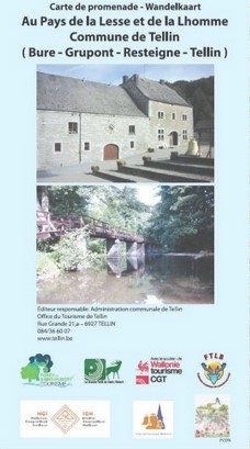
Walking map of Tellin
- Promenade du Trou des Lutons: 5,2 km
- Promenade du Bois de Machi (variante): 5,7 km
- Entre Ardenne et Famenne: 5,8 km
- Promenade des Bords de Lesse: 5,8 km
- Promenade de la Croix Javalle: 5,8 km
- Circuit de la Réserve domaniale (variante de l’ermitage): 6,4 km
- Promenade du Pont des Cloyes: 7 km
- Le chemin des Bruyères: 8 km
- Promenade du Bois de Machi: 8,3 km
- Promenade Sens Dessous-dessus: 8,5 km
- Promenade du Gué du Ry de Glaumont: 8,9 km
- Promenade des Hauts de Lesse (variante): 8,9 km
- Promenade des Hauts de Lesse: 11,2 km
Walking map of Tenneville
- Promenade du Gris Han : 5,3 km
- Promenade de la Chaussée romaine : 5,5 km
- Promenade de la Noire virée : 5,8 km
- Promenade de la Falize : 6 km
- Promenade de la Converserie : 6,1 km
- Promenade de l’Ourthe : 6,5 km
- Promenade des Maquisards : 7 km
- Promenade du Bronze : 7,5 km
- Promenade de Trompe-Souris : 8,4 km
- Promenade de Mochamps : 9,8 km + Boulaie tourbeuse du Rouge Poncé
Signposted walks between 10 km and 15 km
Walking map of Libin:
Walking map of Libramont-Chevigny:
Walking map of Tenneville
Walking map of Wellin
- Wéry variante: 11 km
- Rogifosse: 12,2 km
- Wéry: 16 km
Signposted walks between 15 and 20 km
Walking Libramont-Chevigny:
Wlking map of Saint-Hubert
Walking map of Wellin
Walking maps can be purchased from local tourist offices:


Downloadable tours:
Promenade de la Lesse


LA ROCHE AUX CHEVAUX
In Redu, this rocky ridge overlooks the confluence of the Our and Lesse rivers in a wild setting. According to tradition, old and useless horses were thrown off this rock and tossed backwards into the vacuum. In fact, it was the corpses of dead horses, not the living ones, that were discarded and left to the greed of the biters.
LES RAPIDES DE LA LESSE
Between Maissin and Daverdisse, the Lesse leaves its rural route for a lonely, wooded, secret gorge, where its tumultuous waters slosh over rocks, creating rapids and waterfalls.
A roar in winter, a whisper in summer, permanently envelops these wild places.
This signposted walk is listed on the Libin hiking map, available for 8€ from the Maison du Tourisme de la Forêt de Saint-Hubert, from the Libin Tourist Office and from the Libin municipality.
Beacon: red horizontal rectangle
Further information
Code signalétique
N°4
Signalétique (EN)
Pedestrian - Horizontal rectangle - red
IGN MAP

AERIAL PHOTOS / IGN

MULTI-SCALE MAPS / IGN

TOP 25 IGN

SLOPE MAP (IGN PLAN)

CADASTRAL PARCELS

ICAO AERONAUTICAL CHARTS

MAP 1950 / IGN

MAP OF THE GENERAL STAFF (1820-1866)

COASTAL MAPS / SHOM/IGN

SCAN EXPRESS STANDARD / IGN

CLASSIC EXPRESS SCAN / IGN

OPEN STREET MAP

GOOGLE MAP - SATELLITE

GOOGLE MAP - MAP

GOOGLE MAP - HYBRID

IGN BELGIUM

Starting point


6870 Saint-Hubert


