Top walks!
On this page, you will find the signposted walks in the 6 communes of the Saint-Hubert Forest:
- less than 5 km
- between 5 and 10 km
- between 10 and 15 km
- between 15 and 20 km
The walking maps are on sale at the local Tourist Offices.
Signposted walks of less than 5 km
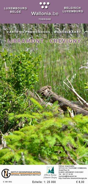
Walking map of Libramont-Chevigny:
- La Promenade pédagogique celtique (3 km)
walking map of Libin:
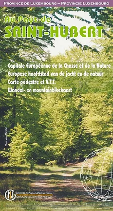
Walking map of Saint-Hubert
Walking map of Wellin
Signposted walks between 5 km and 10 km
walking map of Libin:
- Virée à Chêne: 5,7 km
- Les Troufferies: 5,8 km
- Le chemin des croix et des maisons brûlées: 6 km
- Virée des Croix: 6,1 km
- Le Site légendaire du Cui: 6,3 km
- La Spèche: 7 km
- Le passage des chèvres: 8,1 km
- Promenade des Ponts: 8,1 km
- Sur les traces de 14-18: 8,1 km
- Châmont: 8,4 km
- Promenade de la Lesse: 8,6 km
- La voie du cerf: 8,7 km
- Balade du bourgmestre: 8,7 km
- Les voies d’antan: 10 km
walking map of Libramont-Chevigny:
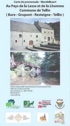
Walking map of Tellin
- Promenade du Trou des Lutons: 5,2 km
- Promenade du Bois de Machi (variante): 5,7 km
- Entre Ardenne et Famenne: 5,8 km
- Promenade des Bords de Lesse: 5,8 km
- Promenade de la Croix Javalle: 5,8 km
- Circuit de la Réserve domaniale (variante de l’ermitage): 6,4 km
- Promenade du Pont des Cloyes: 7 km
- Le chemin des Bruyères: 8 km
- Promenade du Bois de Machi: 8,3 km
- Promenade Sens Dessous-dessus: 8,5 km
- Promenade du Gué du Ry de Glaumont: 8,9 km
- Promenade des Hauts de Lesse (variante): 8,9 km
- Promenade des Hauts de Lesse: 11,2 km
Walking map of Tenneville
- Promenade du Gris Han : 5,3 km
- Promenade de la Chaussée romaine : 5,5 km
- Promenade de la Noire virée : 5,8 km
- Promenade de la Falize : 6 km
- Promenade de la Converserie : 6,1 km
- Promenade de l’Ourthe : 6,5 km
- Promenade des Maquisards : 7 km
- Promenade du Bronze : 7,5 km
- Promenade de Trompe-Souris : 8,4 km
- Promenade de Mochamps : 9,8 km + Boulaie tourbeuse du Rouge Poncé
Signposted walks between 10 km and 15 km
Walking map of Libin:
Walking map of Libramont-Chevigny:
Walking map of Tenneville
Walking map of Wellin
- Wéry variante: 11 km
- Rogifosse: 12,2 km
- Wéry: 16 km
Signposted walks between 15 and 20 km
Walking Libramont-Chevigny:
Wlking map of Saint-Hubert
Walking map of Wellin
Walking maps can be purchased from local tourist offices:


Downloadable tours:
Promenade de la Vieille Eglise


This easy walk will take you to the church of Sainte-Gertrude, known as "La Vieille Eglise". It is located in the heart of old Tenneville.
Excavations in 1957-1958 discovered the remains of an ancient necropolis dating from the 8th to 10th centuries.
It was also discovered that three buildings had been erected there over the centuries.
Today, only the bell tower remains in the old cemetery, where ancient tombstones remain.
It also contains the stele of Lord Trimleston, the young Irish officer who fell at the Battle of Ortheuville on 10 September 1692....
Large car park along National 4 near Notre-Dame de Beauraing church.
This signposted walk is included on the Tenneville walking map, available for 8€ at the Maison du Tourisme de la Forêt de Saint-Hubert
and in various shops in Tenneville (tenneville.com/services/).
Further information
Signalétique (EN)
Pedestrian - Diamond - Green
IGN MAP

AERIAL PHOTOS / IGN

MULTI-SCALE MAPS / IGN

TOP 25 IGN

SLOPE MAP (IGN PLAN)

CADASTRAL PARCELS

ICAO AERONAUTICAL CHARTS

MAP 1950 / IGN

MAP OF THE GENERAL STAFF (1820-1866)

COASTAL MAPS / SHOM/IGN

SCAN EXPRESS STANDARD / IGN

CLASSIC EXPRESS SCAN / IGN

OPEN STREET MAP

GOOGLE MAP - SATELLITE

GOOGLE MAP - MAP

GOOGLE MAP - HYBRID

IGN BELGIUM

Starting point
6970 Tenneville


6870 Saint-Hubert


