Top walks!
On this page, you will find the signposted walks in the 6 communes of the Saint-Hubert Forest:
- less than 5 km
- between 5 and 10 km
- between 10 and 15 km
- between 15 and 20 km
The walking maps are on sale at the local Tourist Offices.
Signposted walks of less than 5 km
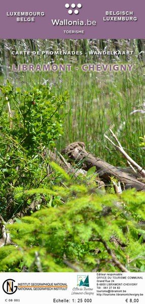
Walking map of Libramont-Chevigny:
- La Promenade pédagogique celtique (3 km)
walking map of Libin:
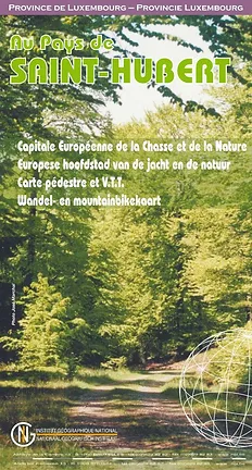
Walking map of Saint-Hubert
Walking map of Wellin
Signposted walks between 5 km and 10 km
walking map of Libin:
- Virée à Chêne: 5,7 km
- Les Troufferies: 5,8 km
- Le chemin des croix et des maisons brûlées: 6 km
- Virée des Croix: 6,1 km
- Le Site légendaire du Cui: 6,3 km
- La Spèche: 7 km
- Le passage des chèvres: 8,1 km
- Promenade des Ponts: 8,1 km
- Sur les traces de 14-18: 8,1 km
- Châmont: 8,4 km
- Promenade de la Lesse: 8,6 km
- La voie du cerf: 8,7 km
- Balade du bourgmestre: 8,7 km
- Les voies d’antan: 10 km
walking map of Libramont-Chevigny:
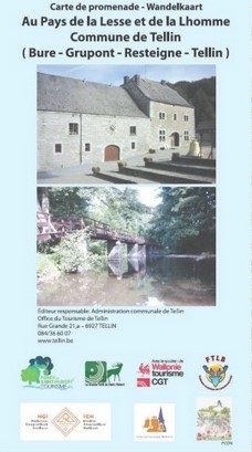
Walking map of Tellin
- Promenade du Trou des Lutons: 5,2 km
- Promenade du Bois de Machi (variante): 5,7 km
- Entre Ardenne et Famenne: 5,8 km
- Promenade des Bords de Lesse: 5,8 km
- Promenade de la Croix Javalle: 5,8 km
- Circuit de la Réserve domaniale (variante de l’ermitage): 6,4 km
- Promenade du Pont des Cloyes: 7 km
- Le chemin des Bruyères: 8 km
- Promenade du Bois de Machi: 8,3 km
- Promenade Sens Dessous-dessus: 8,5 km
- Promenade du Gué du Ry de Glaumont: 8,9 km
- Promenade des Hauts de Lesse (variante): 8,9 km
- Promenade des Hauts de Lesse: 11,2 km
Walking map of Tenneville
- Promenade du Gris Han : 5,3 km
- Promenade de la Chaussée romaine : 5,5 km
- Promenade de la Noire virée : 5,8 km
- Promenade de la Falize : 6 km
- Promenade de la Converserie : 6,1 km
- Promenade de l’Ourthe : 6,5 km
- Promenade des Maquisards : 7 km
- Promenade du Bronze : 7,5 km
- Promenade de Trompe-Souris : 8,4 km
- Promenade de Mochamps : 9,8 km + Boulaie tourbeuse du Rouge Poncé
Signposted walks between 10 km and 15 km
Walking map of Libin:
Walking map of Libramont-Chevigny:
Walking map of Tenneville
Walking map of Wellin
- Wéry variante: 11 km
- Rogifosse: 12,2 km
- Wéry: 16 km
Signposted walks between 15 and 20 km
Walking Libramont-Chevigny:
Wlking map of Saint-Hubert
Walking map of Wellin
Walking maps can be purchased from local tourist offices:


Downloadable tours:
Basilica Church of Saint-Hubert


The Basilica of Saint-Hubert, well-known place of pilgrimage in honour of Saint-Hubert and recognised as exceptional heritage of Wallonia, charms visitors with its majesty and elegance. Her silhouette rises amid a beautiful frame of Ardennes forests.She is the spectacular witness to the dynamics of a Benedictine abbey that was closed down by the French revolutionaries. Several abbey churches, larger and larger, followed one another, both for monastic life and for the devotion of pilgrims.While the first foundations date back to the 7th century, the present building was mainly erected during the 16th century. The basilica is a veritable history book of architectural evolution, from the Romanesque style to the excesses of Gothic and Renaissance. The baroque of the façade from the early 18th century contrasts with the interior, where, the light makes the colours of the materials so intense: blue, yellow, pink stones, marble and wood.Info booklet on sale at the "Maison du Tourisme" and at the basilica FR/NL/EN/DE
Further information
Période et horaire d'ouverture (EN)
Open every day from Easter to All Saints from 9am to 6pm and from All Saints to Easter from 9am to 5pm.
IGN MAP

AERIAL PHOTOS / IGN

MULTI-SCALE MAPS / IGN

TOP 25 IGN

SLOPE MAP (IGN PLAN)

CADASTRAL PARCELS

ICAO AERONAUTICAL CHARTS

MAP 1950 / IGN

MAP OF THE GENERAL STAFF (1820-1866)

COASTAL MAPS / SHOM/IGN

SCAN EXPRESS STANDARD / IGN

CLASSIC EXPRESS SCAN / IGN

OPEN STREET MAP

GOOGLE MAP - SATELLITE

GOOGLE MAP - MAP

GOOGLE MAP - HYBRID

IGN BELGIUM

Author Information

6870 Saint-Hubert


