Top walks!
On this page, you will find the signposted walks in the 6 communes of the Saint-Hubert Forest:
- less than 5 km
- between 5 and 10 km
- between 10 and 15 km
- between 15 and 20 km
The walking maps are on sale at the local Tourist Offices.
Signposted walks of less than 5 km
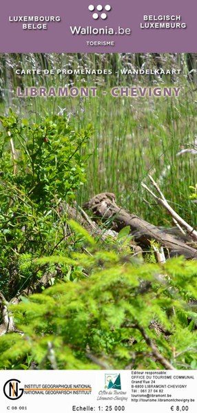
Walking map of Libramont-Chevigny:
- La Promenade pédagogique celtique (3 km)
walking map of Libin:
Walking map of Saint-Hubert
Walking map of Wellin
Signposted walks between 5 km and 10 km
walking map of Libin:
- Virée à Chêne: 5,7 km
- Les Troufferies: 5,8 km
- Le chemin des croix et des maisons brûlées: 6 km
- Virée des Croix: 6,1 km
- Le Site légendaire du Cui: 6,3 km
- La Spèche: 7 km
- Le passage des chèvres: 8,1 km
- Promenade des Ponts: 8,1 km
- Sur les traces de 14-18: 8,1 km
- Châmont: 8,4 km
- Promenade de la Lesse: 8,6 km
- La voie du cerf: 8,7 km
- Balade du bourgmestre: 8,7 km
- Les voies d’antan: 10 km
walking map of Libramont-Chevigny:
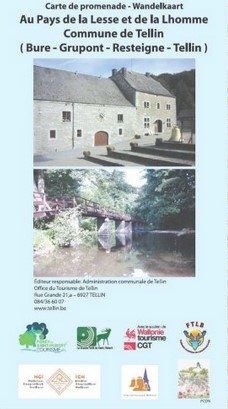
Walking map of Tellin
- Promenade du Trou des Lutons: 5,2 km
- Promenade du Bois de Machi (variante): 5,7 km
- Entre Ardenne et Famenne: 5,8 km
- Promenade des Bords de Lesse: 5,8 km
- Promenade de la Croix Javalle: 5,8 km
- Circuit de la Réserve domaniale (variante de l’ermitage): 6,4 km
- Promenade du Pont des Cloyes: 7 km
- Le chemin des Bruyères: 8 km
- Promenade du Bois de Machi: 8,3 km
- Promenade Sens Dessous-dessus: 8,5 km
- Promenade du Gué du Ry de Glaumont: 8,9 km
- Promenade des Hauts de Lesse (variante): 8,9 km
- Promenade des Hauts de Lesse: 11,2 km
Walking map of Tenneville
- Promenade du Gris Han : 5,3 km
- Promenade de la Chaussée romaine : 5,5 km
- Promenade de la Noire virée : 5,8 km
- Promenade de la Falize : 6 km
- Promenade de la Converserie : 6,1 km
- Promenade de l’Ourthe : 6,5 km
- Promenade des Maquisards : 7 km
- Promenade du Bronze : 7,5 km
- Promenade de Trompe-Souris : 8,4 km
- Promenade de Mochamps : 9,8 km + Boulaie tourbeuse du Rouge Poncé
Signposted walks between 10 km and 15 km
Walking map of Libin:
Walking map of Libramont-Chevigny:
Walking map of Tenneville
Walking map of Wellin
- Wéry variante: 11 km
- Rogifosse: 12,2 km
- Wéry: 16 km
Signposted walks between 15 and 20 km
Walking Libramont-Chevigny:
Wlking map of Saint-Hubert
Walking map of Wellin
Walking maps can be purchased from local tourist offices:


Downloadable tours:
L'ancienne fonderie de cloches "Causard-Slegers"


In an untouched place, discover the work of master founders, the art of bellfoundry and the symbolism of bells.The Causard-Slégers bell foundry began operations in 1832 and experienced substantial commercial growth thanks to the stagecoach route connecting France and Germany. Thousands of bells were cast there. Between 1955 and 1960, it employed 35 workers. It ceased operations in 1970, but remains Belgium's most important clockmaking heritage.All visits take place with a guide.Entertainment for school groups.Snacks available, by reservation only (the cafeteria has room for 60 people).
Further information
Période et horaire d'ouverture (EN)
From 1 March to 15 November, consult our website for opening hours.
IGN MAP

AERIAL PHOTOS / IGN

MULTI-SCALE MAPS / IGN

TOP 25 IGN

SLOPE MAP (IGN PLAN)

CADASTRAL PARCELS

ICAO AERONAUTICAL CHARTS

MAP 1950 / IGN

MAP OF THE GENERAL STAFF (1820-1866)

COASTAL MAPS / SHOM/IGN

SCAN EXPRESS STANDARD / IGN

CLASSIC EXPRESS SCAN / IGN

OPEN STREET MAP

GOOGLE MAP - SATELLITE

GOOGLE MAP - MAP

GOOGLE MAP - HYBRID

IGN BELGIUM

Author Information

6870 Saint-Hubert


