Itinerant walks

long-distance walks

entre lesse et lomme

This 78 km marked route is a loop that takes you deep into the forest along the borders of the municipality of Libin, where there are three camping areas.
Thanks to the 16 village connections, you can hike from any of the nine villages and hamlets that serve as starting points to join the large loop. Discover the website dedicated to: ‘Between Lesse and Lomme’.

The route is shown on the IGN map of walks in Libin, on sale at the Tourist Office in Redu and Saint-Hubert (Libin Tourist Office).

Packages available (luggage transport, accommodation booking, etc.).

WELLIN, par Monts et par Vaulx

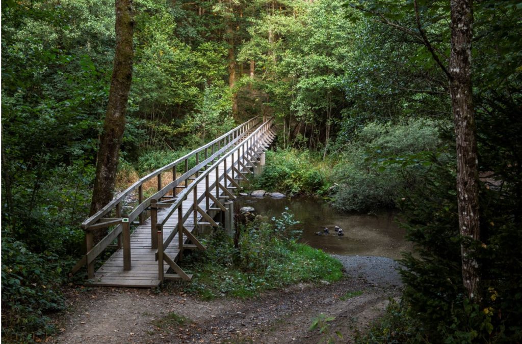
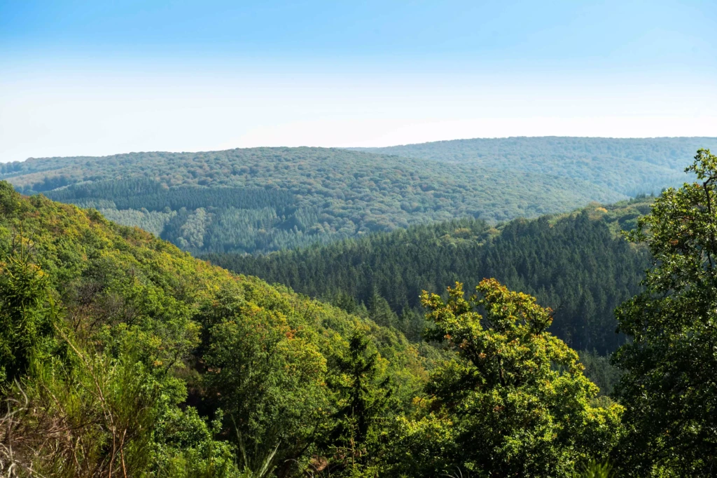
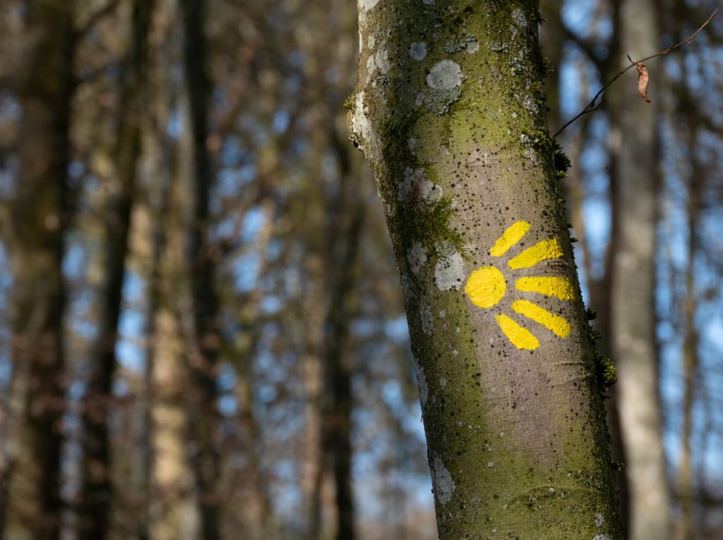
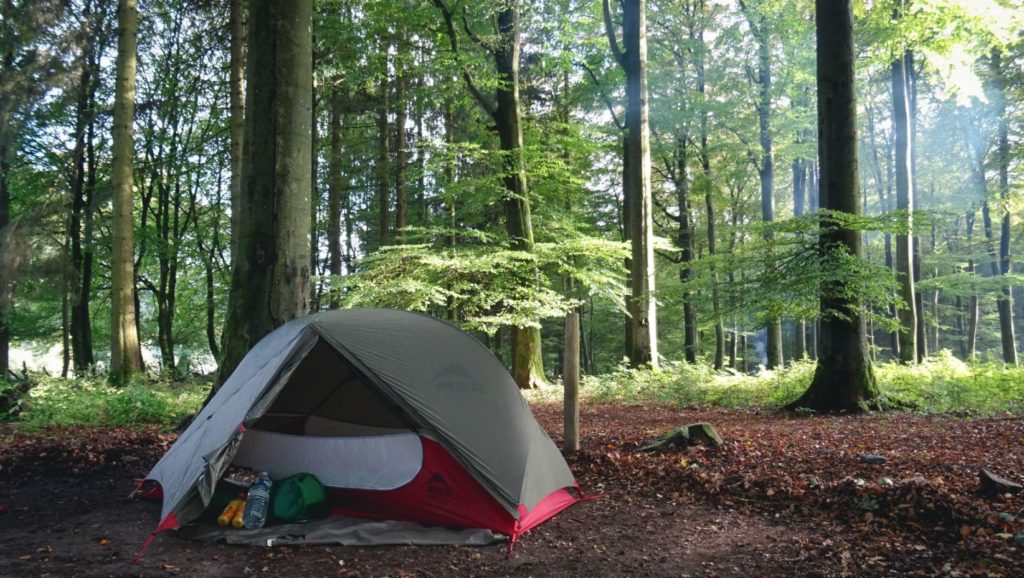
This long route takes you through the Famenne, Ardennes and Calestienne regions. It consists of a 50.8 km marked loop and four themed loops ranging from 21.8 km to 24.6 km length. Private camping areas are available.

The recommended starting point is Sohier, which has been awarded the label “Most Beautiful Villages of Wallonia”. Chanly and the Maria Footbridge (Neupont) are also suggested starting points. In addition, connecting routes allow you to start from different villages.

Find out all the information on the Office du Tourisme de Wellin website.

The route is shown on the IGN map of walks in Wellin, on sale at the Office du Tourisme in Wellin, as well as at the Office du Tourisme in Redu and Saint-Hubert (Office du Tourisme de Libin).

the long itineraries

The "transardennaise"

The Transardennaise route runs 153 km from La Roche-en-Ardenne to Bouillon . Signposted for walkers, it passes through the communes of Tenneville, Saint-Hubert and Libin.

The 1:50,000 scale map of the route and the walking guide are also on sale at the Maison du Tourisme in Redu and Saint-Hubert.

Package deals available (luggage transport, accommodation bookings, etc.).

From the Eifel to the Ardennes

Thesignposted cross-border routeDe l’Eifel à l’Ardenne’ links Gerolstein or Prüm in Germany to Saint-Hubert over a distance of 200 km. It follows the GTA ‘Ardennes Eifel – Rhine Meuse’ trail.

Maps of the route are available from the Maison de la Randonnée – GTA Belgique.

Packages available (luggage transport, accommodation bookings, etc.).

long-distance footpaths (SGR)

Several GR trails pass through the Forêt de Saint-Hubert.

Topoguides (FR) with 1:50,000 scale IGN maps are also on sale at the Maison du Tourisme in Saint-Hubert.

GR 14 Sentiers de l'Ardenne - de l'Eifel aux Ardennes françaises

This 276km cross-border route is marked from Monschau in Germany to Sedan in France. “Les Sentiers de l’Ardenne – De l’Eifel aux Ardennes françaises” passes through the municipalities of Tenneville, Saint-Hubert and Libin.

GR57 sentiers de l'Ourthe

One of the marked Sentiers de l’Ardenne, the Sentier de l’Ourthe occidentale runs through the municipalities of Tenneville and Libramont-Chevigny. The topoguide (FR) with IGN maps with a scale of 1/50 000 is sold at the Maison du Tourisme of Saint-Hubert.

GR129 sud de la Belgique en diagonale!

The path “Sud de la Belgique en Diagonale” (254.3km) is marked out from Dinant to Arlon via the municipality of Wellin. The topoguide (FR) with IGN maps with a scale of 1/50 000 is sold at the Maison du Tourisme in Saint-Hubert.

gr151 tour du luxembourg belge

“Le Tour du Luxembourg” (232 km) is a delimited leisure tour starting from Neufchâteau. The route passes Libramont-Chevigny, Saint-Hubert and Tenneville. 

gr577 tour de la famenne

This route (170 km) is marked out along the municipalities of Tellin and Wellin.

sentier gr des abbayes trappistes de wallonie

The GR of 290 km is signposted from Chimay to Orval. It runs through the region via the municipalities of Tellin and Wellin. A topoguide exists in Dutch and French versions. Openstreet maps.

grt des monts d'ardenne

The “S.M.A” consists of 225 km of signposted routes from the Signal de Botrange, the Baraque de Fraiture and the Croix-Scaille and runs through Tenneville and Wellin.

GR 17 Sentiers de la Lesse et de la Lomme

This new route consists of 165 km of signposted roads passing through Libramont, Saint-Hubert, Libin, Tellin and Wellin.

la via arduinna (way of compostelle)

The Via Arduinna is the Pilgrim ‘s Way to Santiago de Compostela from Malmedy to Orval. The route is signposted and passes through the Forêt de Saint-Hubert via the communes of Tenneville, Saint-Hubert and Libramont-Chevigny.

Guidebooks for some of the stages are available from the Maison du Tourisme in Saint-Hubert.

from the depths of the forests to the landscapes of the plateau

From the depths of the forests to the landscapes of the plateau’ is an unmarked 98km route that complements the Escapardenne Eislek Trail.

The loop starts in La Roche-en-Ardenne and passes through the commune of Tenneville and the village of Laneuville-au-Bois.

There are two bivouac sites along the route, and a day’s walking is available.

A map of the route is on sale at the Maison du Tourisme in Saint-Hubert.