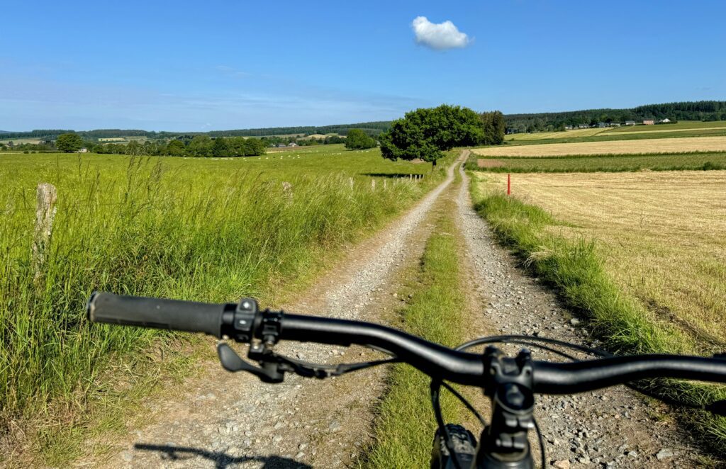
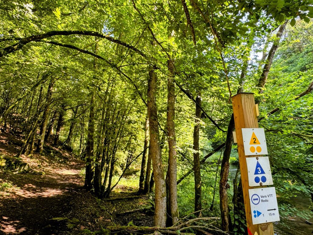
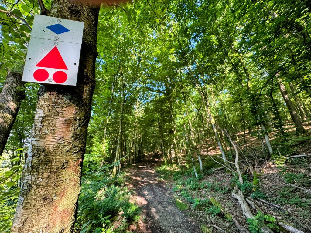
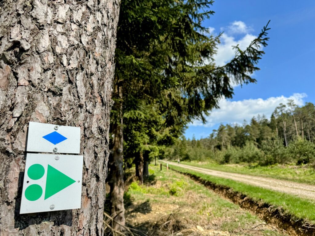
Local routes

Tools, good tips and routes mapped out FOR YOU!

To give you a warm welcome, several establishments have joined the “Bienvenue Vélo” label, so that you can find all the comfort you need to make the most of our region and its riches.

They can be recognised by a sticker at the entrance and are located at most 5 km from a cycle network…

Places to charge your electric bike

  • Champlon (Tenneville): Maison du Ski, Grande Rue 164
  • Saint-Hubert: Place du Marché 15
  • Sohier (Wellin): Laboratory of rural life
  • Redu (Libin): Place de l’Esro 60
  • Tellin: in front of the church
  • Wellin: on the Grand Place

MTB

Mountain bike routes have been mapped out in several municipalities in the Saint-Hubert forest. They are on the IGN maps of local walks and can be downloaded.

In the commune of Libin: 3 circuits of 16, 20 and 30 km
In the commune of Saint-Hubert: 6 circuits of 12 to 30 km
In the town of Tellin: 1 circuit of 20.2 km
In the town of Tenneville: 2 circuits of 21 and 30.5 km

Cyclotourism

Dot-node network

Ardenne Bike Tours

These unmarked routes proposed by the Maison de la Randonnée – GTA Belgique can be downloaded and vary from 15 to 48 km.
They go through the Great Forest of Saint-Hubert via Arville, Bras, Freux, Mirwart, the Monument of King Albert, Poix-Saint-Hubert, Remagne, Saint-Hubert and Wyompont.

Libramont-Chevigny's MTB loops

Starting from the Place communale in Libramont, the municipality of Libramont-Chevigny offers 4 VTC marked out loops. The distances vary from 20 to 70 km.

PICVERTS

The old tramway that linked Wellin to Graide until 1958 has been rehabilitated to the delight of walkers and cyclists.
The Wellin – Daverdisse – Porcheresse RAVeL consists of three parts: a cycle path, a RAVeL and a PicVert. A total of 13 km starting from Rue Les Glaumonts in Neupont.

Pré-ravel

Thanks to the construction of the 11.4 km long route in the municipality of Libramont-Chevigny, it is now possible to go from Flohimont to Wideumont-Gare (direction Bastogne).
The route allows you to reach Libramont-Chevigny and Wiltz (Grand Duchy of Luxembourg) via Bastogne.
Starting point : industrial zone of Flohimont.

SAINT-HUBERT SLOW LANE NETWORK

This network links the centre of Saint-Hubert with the villages of Vesqueville and Hatrival.
It is made up of 4 routes with distances varying from 1.3 to 2.6 km.

VOIE LENTE - W7

This slow route links Libramont-Chevigny (starting from the town square in Libramont) to Tonny (Sainte Ode) via dedicated sections, village crossings and agricultural roads over approximately 20 km. It is an integral part of the regional long-distance route W7, which crosses the provinces of Liège and Luxembourg on a North-South axis.
This section, which is signposted, can be downloaded and is available at the Libramont-Chevigny Tourist Office.


Wellin, gateway to the Ardenne

The Wellin Tourist Office offers you 10 unmarked routes to discover the municipality, starting from: Sohier, Wellin or the Maria bridge.
The distances of these family and mountain bike routes vary from 7 to 44 km. They are available at the Tourist Office.

Select background map

PLAN IGN

PLAN IGN

PHOTOS AERIENNES / IGN

PHOTOS AERIENNES / IGN

CARTES MULTI-ECHELLES / IGN

CARTES MULTI-ECHELLES / IGN

TOP 25 IGN

TOP 25 IGN

CARTE DES PENTES (PLAN IGN)

CARTE DES PENTES (PLAN IGN)

PARCELLES CADASTRALES

PARCELLES CADASTRALES

CARTES AÉRONAUTIQUES OACI

CARTES AÉRONAUTIQUES OACI

CARTE 1950 / IGN

CARTE 1950 / IGN

CARTE DE L'ETAT-MAJOR (1820-1866)

CARTE DE L'ETAT-MAJOR (1820-1866)

CARTES LITTORALES / SHOM/IGN

CARTES LITTORALES / SHOM/IGN

SCAN EXPRESS STANDARD / IGN

SCAN EXPRESS STANDARD / IGN

SCAN EXPRESS CLASSIQUE / IGN

SCAN EXPRESS CLASSIQUE / IGN

OPEN STREET MAP

OPEN STREET MAP

GOOGLE MAP - SATELLITE

GOOGLE MAP - SATELLITE

GOOGLE MAP - PLAN

GOOGLE MAP - PLAN

GOOGLE MAP - HYBRIDE

GOOGLE MAP - HYBRIDE

IGN BELGIQUE

IGN BELGIQUE
Circuit picture

La Lhomme

24 km
Difficult
Rue des Ardennes 6870 Poix-Saint-Hubert
- Maison du Tourisme de la Forêt de Saint-Hubert -
Circuit picture

Parcours VTT du Kaolin

20 km
Medium
Rue de Smuid 6890 Libin
- Maison du Tourisme de la Forêt de Saint-Hubert -
Circuit picture

Parcours VTT de La Roche de Contranhé

16 km
Easy
Quartier Latin 6890 Libin
- Maison du Tourisme de la Forêt de Saint-Hubert -
Circuit picture

Hurtebise

22 km
Easy
Place du Fays 6870 Saint-Hubert
- Maison du Tourisme de la Forêt de Saint-Hubert -
Circuit picture

La Forêt du Roi Albert

16 km
Medium
Place du Fays 6870 Saint-Hubert
- Maison du Tourisme de la Forêt de Saint-Hubert -
Circuit picture

SH 30

28 km
Difficult
Place du Fays 6870 Saint-Hubert
- Maison du Tourisme de la Forêt de Saint-Hubert -
Circuit picture

Parcours VTT de la Haute-Lesse

29 km
Difficult
Place de l'Esro 6890 Libin
- Maison du Tourisme de la Forêt de Saint-Hubert -
Circuit picture

Variante du parcours VTT de la Haute-Lesse

18 km
Medium
Place de l'Esro 6890 Redu
- Maison du Tourisme de la Forêt de Saint-Hubert -
Circuit picture

Sans Dessus-Dessous

8.5 km
Rue de Mirwart 6927 Bure
- Maison du Tourisme de la Forêt de Saint-Hubert -
Circuit picture

Chemin des Bruyères

8 km
Rue de Tellin 6927 Bure
- Maison du Tourisme de la Forêt de Saint-Hubert -
Circuit picture

Promenade des Chapelles

After a walk through the surrounding countryside passing, in particular, the Champ des Bœufs where remarkable species such as the small rhinanthus or the centaury are found, you will arrive at the chapel of Notre-Dame de Haurt . This walk will take you to the calvary at the Croix Gloriette.
In the surroundings of Bâtis d'Haurt, the forests and paths are dotted with rare and protected plants: orchids, gentians, but also sweet wood, spikenard, oregano and wild thyme. Deer, foxes and even stoats live in this flora.
Numerous breeding birds, passerines and butterflies accompany you to the chapel Notre-Dame de Haurt. Built in the 18th century from clinker and sandstone, it consists of a two-bay nave lit by low keyed windows. During your visit, admire the axial pore, crowned by an oval oculus, also called a bull's eye. The chapel's slate roof has a charming bell tower at the front.At La Bouteille, discover the vast panorama of the Ardennes promontory to the south-south-west and, closer to home, of the limestone plain covered with cereal crops.The old castle of Bure, Saint-Lambert church and the village's fountains, described in the previous route (the Chemin de Bruyères), are also part of the municipality's remarkable heritage.
This signposted walk is included on the Tellin walking map, available for €6.50 at the Tellin Tourist Office and at the Maison du Tourisme de la Forêt de Saint-Hubert.
Signposting: yellow rectangular triangle

4.4 km
Rue de Tellin 6927 Bure
- Maison du Tourisme de la Forêt de Saint-Hubert -
Circuit picture

Croix de Javalle

11 km
23 Rue Grande 6927 Tellin
- Maison du Tourisme de la Forêt de Saint-Hubert -
Circuit picture

Promenade des Etangs

20 km
Medium
Rue de l'Eglise 6927 Tellin
- Maison du Tourisme de la Forêt de Saint-Hubert -
Circuit picture
- Maison du Tourisme de la Forêt de Saint-Hubert -
Circuit picture

La Masblette

14 km
Medium
Fourneau Saint-Michel 6870 Fourneau Saint-Michel
- Maison du Tourisme de la Forêt de Saint-Hubert -
Circuit picture

Forêt de Saint-Michel

11 km
Easy
Fourneau Saint-Michel 6870 Fourneau Saint-Michel
- Maison du Tourisme de la Forêt de Saint-Hubert -
Circuit picture

Gué du Ry de Glaumont

8.9 km
Rue du Centre 6927 Resteigne
- Maison du Tourisme de la Forêt de Saint-Hubert -
Circuit picture

Circuit vélo : Libramont-Chevigny - Séviscourt

10 km
56d Avenue d'Houffalize 6800 Libramont
- Maison du Tourisme de la Forêt de Saint-Hubert -
Circuit picture

Parcours VTC 70 km

70 km
Difficult
Place Communale 6800 Libramont
- Maison du Tourisme de la Forêt de Saint-Hubert -
Circuit picture

Parcours VTC 35 km

37 km
Medium
5 Place Communale 6800 Libramont
- Maison du Tourisme de la Forêt de Saint-Hubert -
Circuit picture

Parcours VTC 19km

19 km
Easy
5 Place Communale 6800 Libramont
- Maison du Tourisme de la Forêt de Saint-Hubert -
Circuit picture

Parcours VTC 50 km

49 km
Medium
5 Place Communale 6800 Libramont
- Maison du Tourisme de la Forêt de Saint-Hubert -
Circuit picture

Circuit des Saisons de la Photo à Libramont à vélo

32 km
Medium
Place Communale 6800 Libramont
- Maison du Tourisme de la Forêt de Saint-Hubert -
Circuit picture

Voie lente Libramont-Chevigny à Tonny

19 km
Place Communale 6800 Libramont-Chevigny
- Maison du Tourisme de la Forêt de Saint-Hubert -
Skip to content